Colder Weather and Snow Possible in Casper Through Tuesday
Much colder weather and some snow on the way for Tuesday.
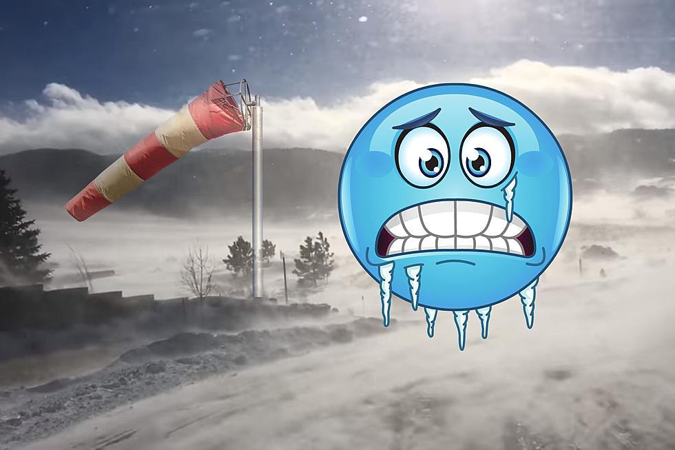
After a sunny pleasant fall weekend followed by a mild day day on Monday, the weather will turn sharply colder to some areas of Wyoming along with accumulating snowfall in the northern mountains Tuesday behind a strong cold front that will push south across the state Monday night. the biggest change in temperatures will take place in Johnson County, including the town of Buffalo, where after high temperatures reach the low 70s Monday, temperatures will remain in the upper 30s Tuesday, which would be a 30 to 35 degree drop in daytime high temperatures for the area. in addition, strong north winds will accompany the frontal passage Monday evening in Johnson County with gusts of over 40 mph expected. the big horn basin will see a 25 to 30 drop in high temperatures between Monday and Tuesday, namely from the low 70s to the mid 40s respectively. the Casper area will be around 20 degrees cooler with a high around 50. elsewhere, east of the Continental Divide, expect to witness a 15 to 20 degree drop in high temperatures from the low 70s to the low to mid 50s in areas like the Wind River Basin. west of the divide, high temperatures will only run around 5 to 10 degrees cooler Tuesday.
In addition to the colder weather expected Tuesday, 3 to 6 inches of snowfall along and behind the front area expected to fall late Monday night and into Tuesday across the Big Horn and Absaroka Mountains, affecting travel across Powder River, Granite and Dead Indian Passes. Even Buffalo could witness a one inch snowfall during this time frame. the Big Horn Basin could see a dusting of snowfall as well.
More From My Country 95.5