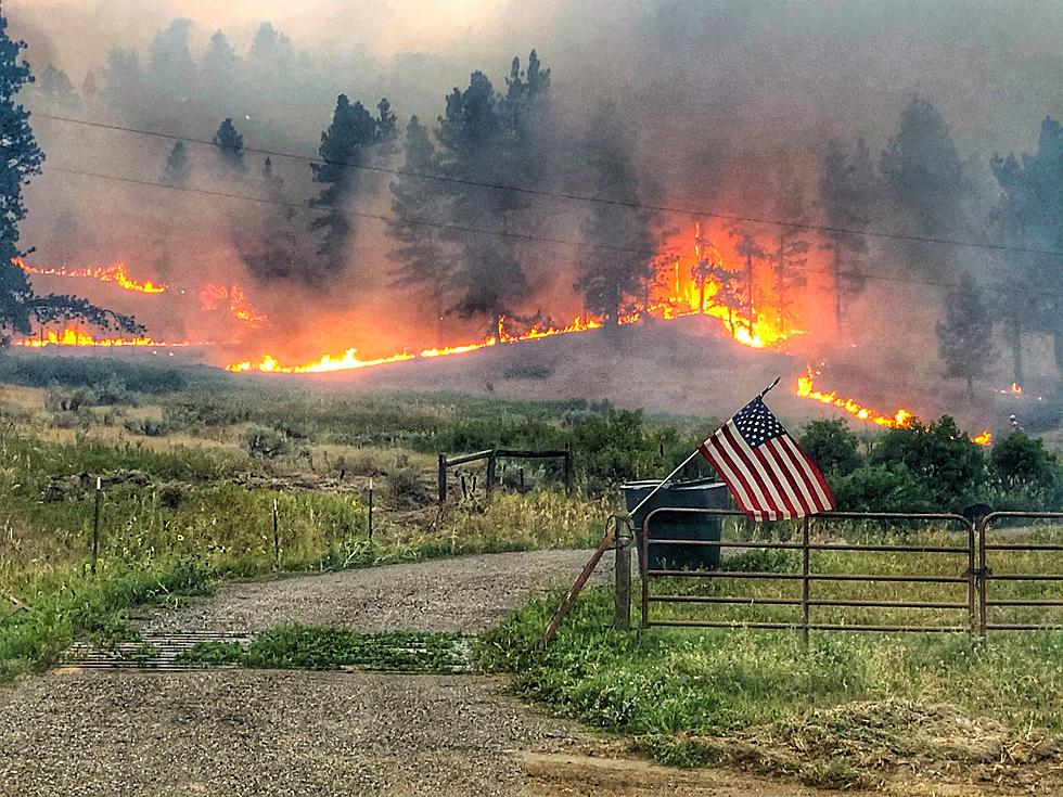
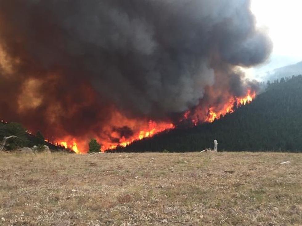
Russells Camp Fire At 800+ Acres and Growing Near Douglas
Stage I fire restrictions went into effect on the Medicine Bow National Forest and Thunder Basin National Grassland as of midnight on June 14, 2012. On Sunday, June 17th another fire started in the Medicine Bow Range, Southwest of Douglas, WY.
Incident Overview
Size: 800 acres and growing.
Location: Southwest corner of Converse County, Wyo. 32 miles south of Glenrock, Wyo. West of Squaw Mountain, southwest of Buffalo Peak, northwest of Campbell Creek Campground and Twin Peaks Trailhead. North and west of County Road 24, also known as Cold Springs Road or Little Medicine Road.
Terrain: Very rugged.
Land ownership: Burning on the Medicine Bow National Forest and on private lands.
Resources: As of Sunday, two crews on scene, four additional crews en route. A Type II and a Type III helicopter worked the fire on Sunday. One load of fire retardant was dropped.
Initial attack: U.S. Forest Service, Douglas Ranger District.
Structures threatened: Cabins are in the area. No imminent threat.
Direction: The fire was driven to the north and east by high winds on Sunday.
Forecast: Monday's high temperature will be near 90, winds from the west near 25 mph, humidity near 20%.
Cause: Under investigation.
Reported: Mid-day Sunday, June 17.
Fuels: Mixed conifer, brush and grass.
Note: Rocky Mountain Incident Management Team B, a Type II team, Incident Commander Todd Pechota, has been called to take over management of the fire.
Some early reports calling it the Bucks Peak Area Fire.
Information updates: For the time being, will be provided by Public Affairs staff from the Medicine Bow-Routt National Forests and Thunder Basin National Grassland, and can be found on Twitter at @MBRNFsTBNG, hashtag #RussellsCampFire.
More From My Country 95.5