Torrington Wyoming Pounded By Large Hail And Heavy Rain Again
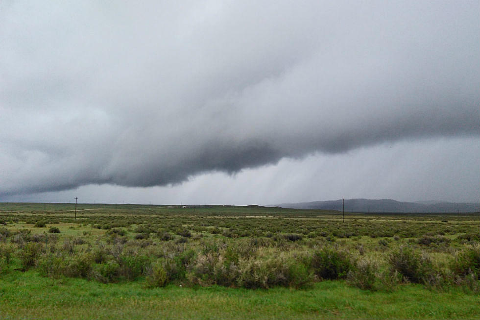
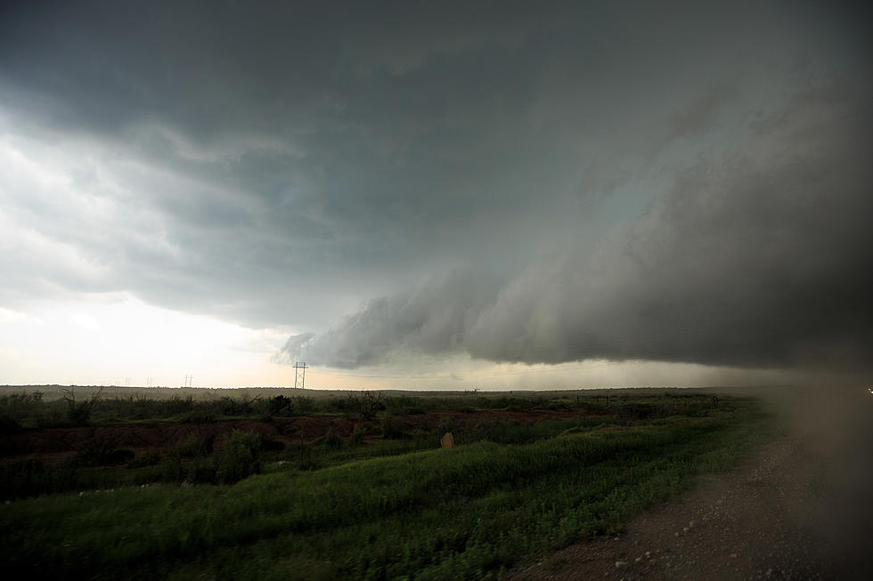
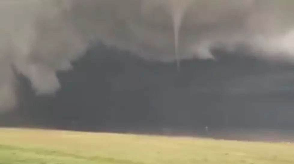
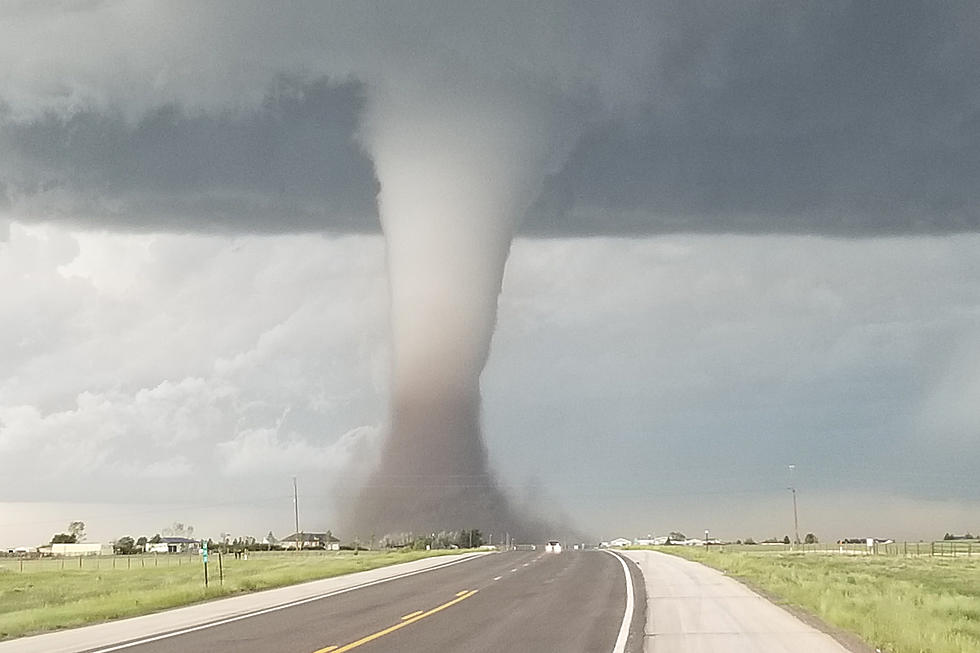
The threat of severe weather in parts of Wyoming, Nebraska and Iowa started early on Tuesday, June 3rd.
The National Weather Service started early giving residents a heads up that severe weather was a real possibility across the region and Mother Nature came through with what was promised. A line of storms started in eastern Wyoming with drenching rains and golf ball sized hail. As this derecho storm system – a short-lived, large cluster of storms, marched eastward, the hail grew in size and the destruction began to increase. Baseball-sized hail pounded homes and cars across Nebraska, 9 tornadoes were reported across the area and powerful thunderstorms swept the states, wreaking extensive damage, severe flooding and freak hail that riddled cars and punched holes in houses was commonplace.
Here are some images from the storm that swept through Torrington, Wyoming Tuesday afternoon.
Here is an image of a 4.5" hail stone that was shared on Twitter by the KNEB Storm Center.
And here are some images of automobile damage in Blair, NE
Here is a video of some of the action in Torrington,
Severe weather and strong thunderstorms are a possibility again this afternoon across many of these same ares.
More From My Country 95.5