...SIGNIFICANT WEATHER ADVISORY FOR EASTERN NATRONA COUNTY UNTIL 545
PM MDT...
AT 502 PM MDT...DOPPLER RADAR WAS TRACKING A LINE OF STRONG
THUNDERSTORMS ALONG A LINE EXTENDING FROM 14 MILES SOUTHEAST OF RED
WALL TO 9 MILES WEST OF EMIGRANT GAP TO 6 MILES EAST OF INDEPENDENCE
ROCK...
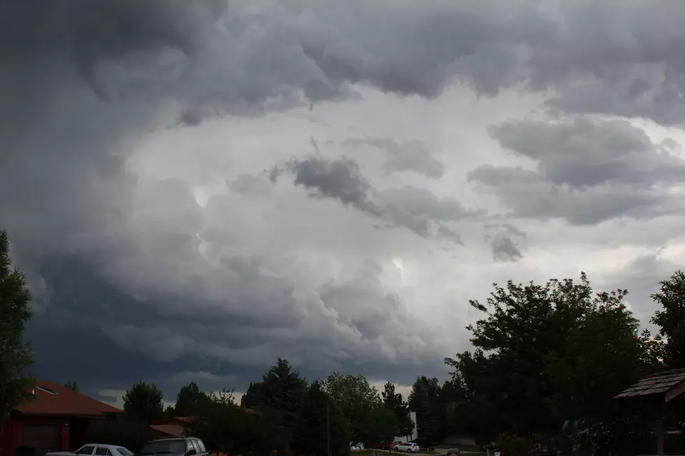
Weather watching is one of my favorite hobbies and I just happened to be in the right spot to catch a funnel cloud about 10 miles west of Cheyenne just off I-80.
The threat of severe weather in parts of Wyoming, Nebraska and Iowa started early on Tuesday, June 3rd.
The National Weather Service started early giving residents a heads up that severe weather was a real possibility across the region and Mother Nature came through with what was promised...
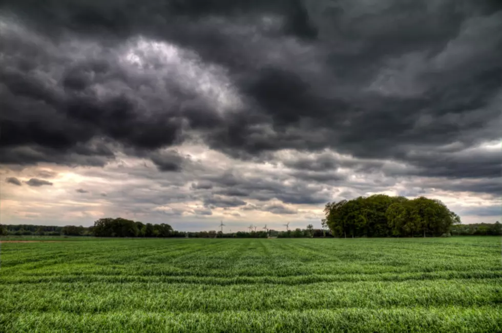
April 22nd through Arpil 28th, is national severe weather preparedness week. The initiative highlights the importance of planning and practicing how and where to take shelter prior to severe weather hitting, such as tornadoes and severe thunderstorms.
As Casper enters or severe thunderstorm season - May through July, being prepared can help protect your family and property.
The National Weather Service has upgraded to a Winter Storm Warning through 9pm tonight (Sunday, January 9) - the earlier Winter Weather Advisory is no longer in effect. Here's the latest:


![Funnel Cloud Near Cheyenne [Video]](http://townsquare.media/site/100/files/2014/06/funnelss.jpg?w=980&q=75)

![Casper Should Prepare Now For Severe Weather [VIDEO]](http://townsquare.media/site/102/files/2012/04/lightning1.jpg?w=980&q=75)