Cow Camp Fire At 3,500 Acres and Growing
The Cow Camp Fire in North Albany County grew to 3,500 acres on Wednesday due to high winds and dry fuels. The fire is approximately five miles southeast of Laramie Peak and is currently burning on the Medicine Bow National Forest and private lands. State lands are also in close proximity.
Gusty winds in excess of 25 mph are currently pushing the fire in multiple directions and containment is at 30%.
Weather forecasts in the area are calling for more hot, dry and windy conditions on Tuesday night and Wednesday, with low humidity.
Spotting did occur across fire lines on Tuesday and the largest fire movement was into the wind, to the south, across the Laramie River and onto private land.
A thunderstorm moved through the area during the afternoon, but no rain resulted, only wind.
At this time there is no direct attack due to the terrain. Focus is on establishing a larger perimeter, especially to the south.
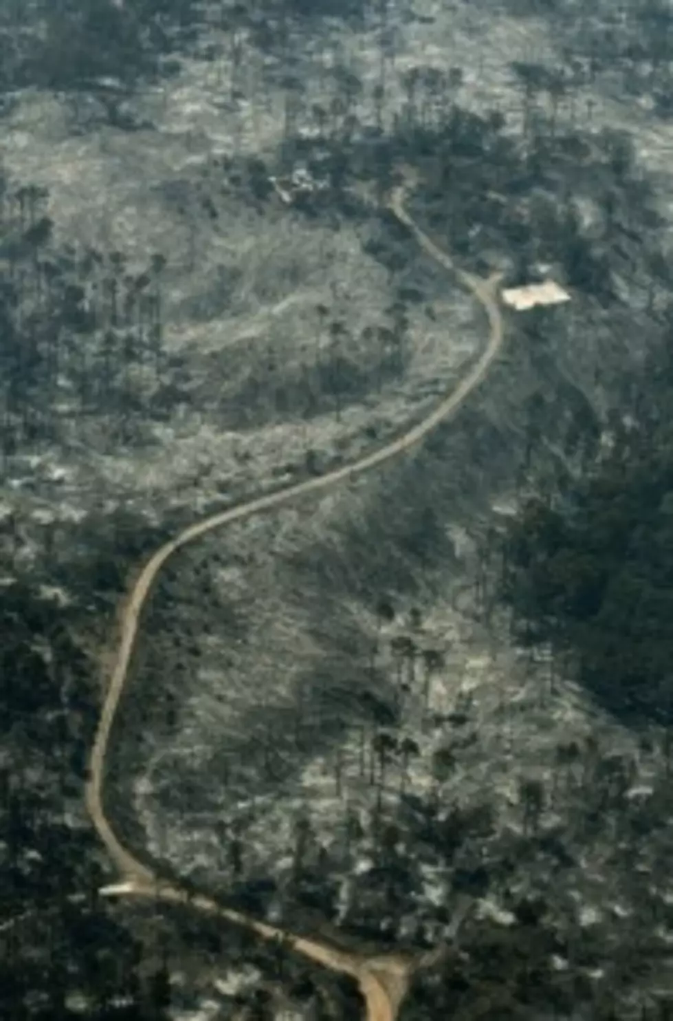
One unoccupied cabin was burned on Tuesday and a total of 10 structures are within two miles of the fire.
120 crew members are on scene, including Hot Shot crews and two Type III helicopters. Air attack was provided by a Type I airtanker from Colorado, as well as three single-engine airtankers. A dozer and hand crews worked to establish line.
Air attack was effective on Tuesday and will continue on Wednesday as the weather allows.
The fire is under command of a Type III Incident Management Team and the U.S. Forest Service is the lead agency on the event.
Fire location is east of Cottonwood Park Road, County Road 71 and south of County Road 716, the Fletcher Park Road. Both roads are still open, but only necessary travel is encouraged. The North Laramie River Trailhead, northeast of the fire, and the road into the trail are both closed.
Lightning is suspected to have started the blaze that has been burning since Sunday night and was discovered Monday morning by Black Mountain Lookout.
Terrain in the remote area is rough and the fire is burning in grass, brush and mixed conifer.
Information updates will be provided by Public Affairs staff from the Medicine Bow-Routt National Forests and Thunder Basin National Grassland, and can be found on Twitter at @MBRNFsTBNG, hashtag #CowCampFire or at InciWeb, http://inciweb.nwcg.gov/incident/2896/.
More From My Country 95.5


