
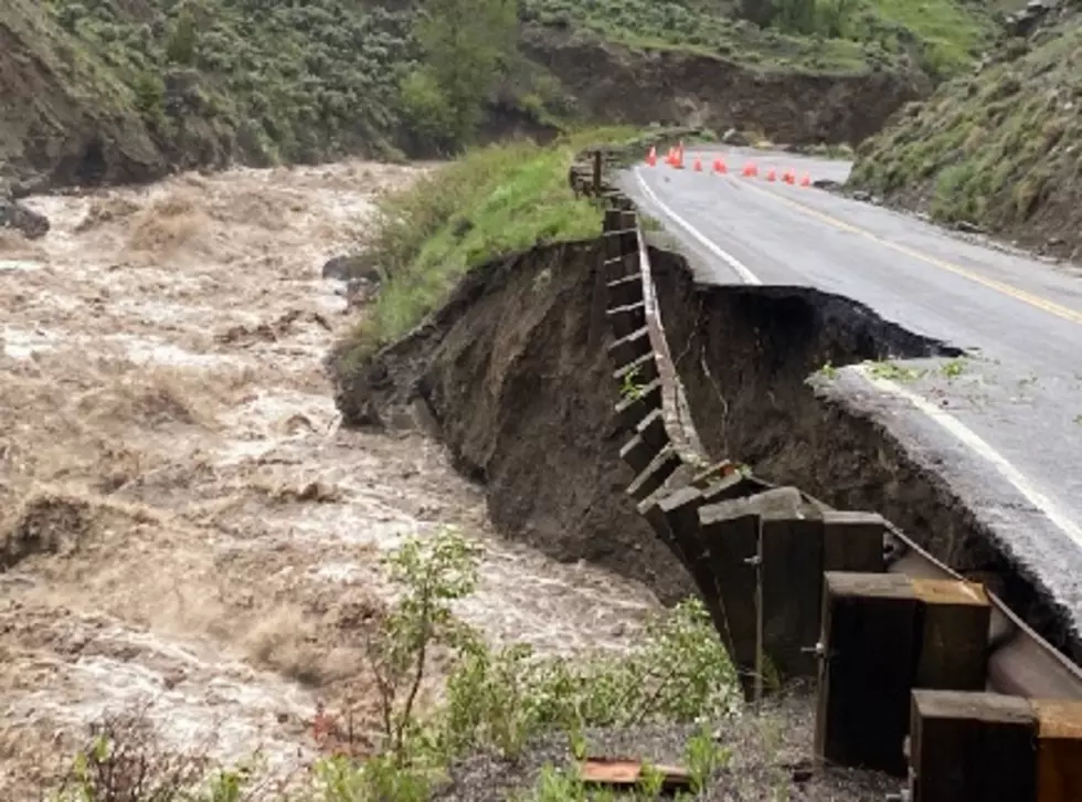
Flash Flood Warnings For Parts Of Wyoming
It's good to see some monsoonal moisture come to Wyoming. Unfortunately, not all of that wet will be evenly spread. Some folks will get nothing. Others will get too much.
CAUTION: Do not camp near lakes, rivers, or runoff areas over the next couple of days.
Flash-flooding concerns associated with our monsoonal flow will peak this Wednesday afternoon, with a chance also on Thursday, July 22nd and 23rd.
With deep surface moisture and sunny skies, we can expect some afternoon and evening showers. A few might even see overnight showers.
These storms will be slow-moving due to light winds. That only makes it worse, sorry to say.
Flash floods usually result from the sudden development of an intense local storm over the drainage basin of a small stream or river. Rivers can rise way above flood stage in a matter of hours, if not minutes. However, not all flash floods are caused directly by heavy rain. Ice and log jams can suddenly let loose huge torrents of water. This is why it is important to NOT camp around lakes, rivers, and runoff.
Below is a map from the National Weather Service showing areas of concern for Wyoming.
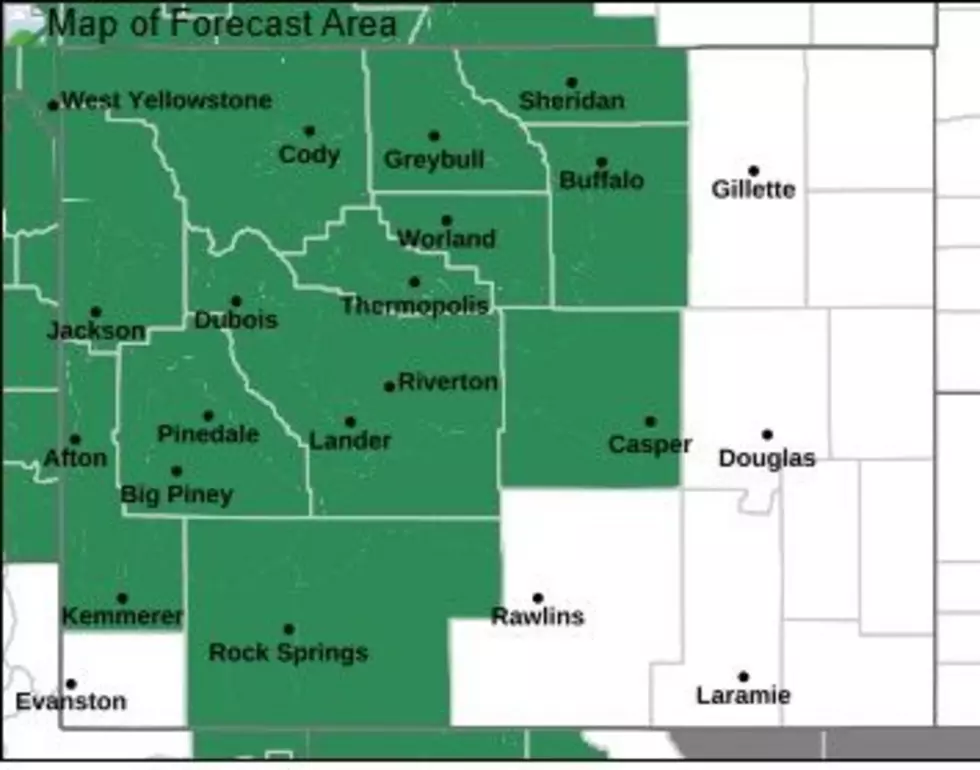
You can read advisories for each of these shaded areas by clicking on this link.
There is also a link from the National Weather Service for general flood watches.
Have a great time out there, because most of these days will be beautiful. Just keep your guard up if you see thunderstorms building.
Casper Wyoming Amazing Balloon Festival 2025
Gallery Credit: Glenn Woods
More From My Country 95.5

