NWS: Winter Storm Watch; 8-12 Inches Possible on Casper Mountain
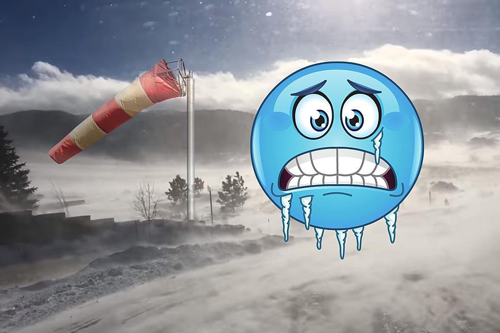
A winter storm watch is set to go into effect Wednesday for the Casper area as a strong cold front brings sharply colder temperatures and the possibility of heavy snowfall.
According to the watch from the National Weather Service, which will be active from 12 p.m. Wednesday through 6 a.m. Thursday, four to seven inches of snow accumulation is possible in Casper, Riverton, Shoshoni, Lander and Jeffrey City.
Casper Mountain could see eight to 12 inches of snow. Winds could gust up to 30 mph, blowing snow in some areas and significantly reducing visibility.
Wednesday's temperatures will likely be some 30 degrees colder than Tuesday's high temperatures.
Slick and hazardous travel conditions are expected on mountain passes and area highways, potentially impacting morning and evening commutes.
For the latest road conditions, call 511, visit WyoRoad.info or download the Wyoming 511 app.
More From My Country 95.5